
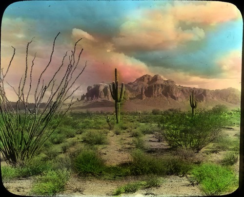
Superstition Mountain on the Apache Trail, Arizona, originally uploaded by Oregon State University Archives.
The Superstition Mountain range is primarily part of Tonto National Forest east of Phoenix, AZ. The northernmost section makes up Lost Dutchman State Park.
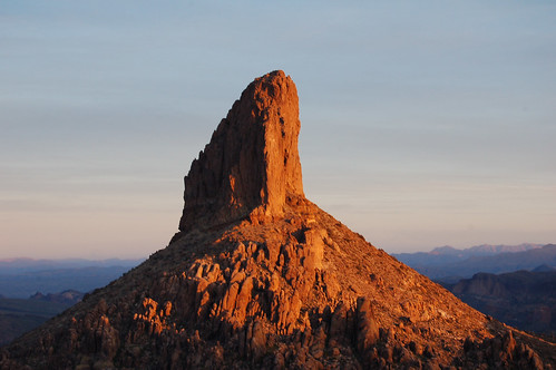
Weaver's Needle is a volcanic plug. A volcanic plug is a volcanic landform created when magma hardens within a vent on an active volcano. Formations like Weaver's Needle occur when the outer layers of rock erode at a different rate than the magma column in the vent, leaving the magma column exposed.
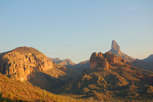
Weaver's Needle from the Black Mesa Trail.
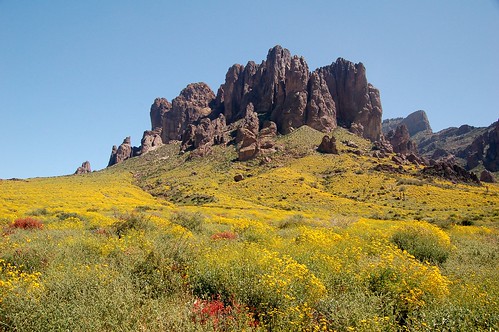
From Jacob's Crosscut Trail, Lost Dutchman State Park. The entire park is a sea of flowers.
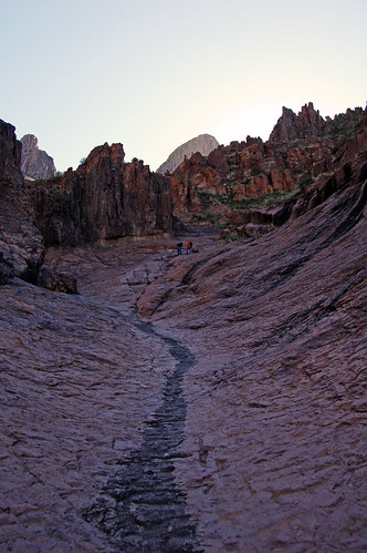
Siphon Draw is a scramble/hike up onto Flatiron Mountain to some amazing views of Phoenix.
Check out more of my photographs of the Superstitions here on our Flickr page.
Read about the legend of the Lost Dutchman Mine.
3 comments:
You really have some very choice pick's of Superstition Mountain and surrounding areas. and the trail up to Flat Iron and the backside>Peralta Trail... I wish I would have taken picks like this but sure is good to be able to appreciate the view from these awesome perspective's you have shared...
Thanks,
Jay B Schuman
Thanks, Jay. I'm glad you enjoyed the photos!
Weaver's Needle is not a volcanic plug, although it sure looks like one. It's actually composed of three distinct layers:
Top portion: Volcanic debris deposits
Middle portion: Geronimo formation
Bottom: Dacite lava deposits
Weaver's Needle is just an erosional feature, much like the spires and columns we see in Monument Valley.
Post a Comment