

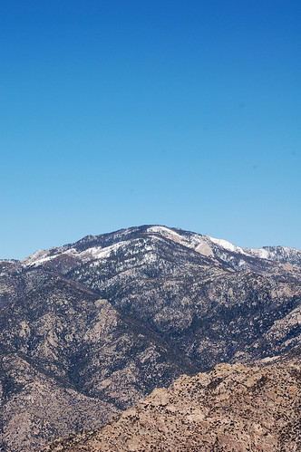
Below is Mt. Kimball's summit. The snow capped mountain in the background is Tanque Verde Peak in Saguaro National Park.
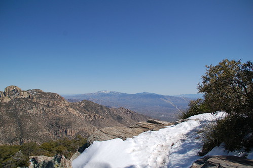
Of course, I knew there was still a lot of snow on Mt. Lemmon. Mt. Kimball's summit is at about 7000 feet, about 2000 feet lower than Mt. Lemmon, but the view of the Mt. Lemmon from atop Mt. Kimball is pretty damn cool.
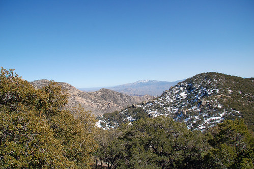
Here's another panorama from near Linda Vista Saddle, about two miles before you reach the summit of Mt. Kimball. I make these panoramas by stitching multiple photos together in Photoshop. Again, it's best viewed large.
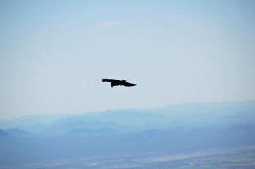
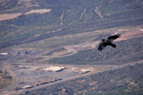
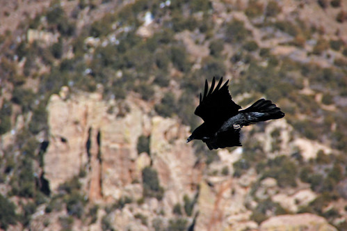
While at the top, these ravens kept swooping up from below me, soaring out away from the mountain and then back in. They would fly way up and then dive fast, below the mountain and out of sight.
No comments:
Post a Comment